


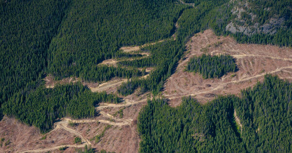
When conservation planners want to protect habitat, they generally can’t simply set aside one giant parcel of land. Planners often need to choose many small patches of land while minimizing the cost of buying them, considering how well each spot protects species, and making sure all the pieces are connected so that animals can move freely among them.
“You have all these different objectives at the same time,” says Jamie Tucker-Foltz, an assistant professor of operations and computer science at Yale SOM, which makes the problem dauntingly complex. If you have a map containing thousands of land units and want to figure out the best-connected network of places to protect, Tucker-Foltz adds, “you can’t just stare at it and say, ‘Oh, obviously this is the answer.’”
While planners can use software to find an optimal solution, existing tools often can’t use high-resolution data on species and habitat because they simply take too long to run. To find a better method, Tucker-Foltz and his Yale SOM colleagues Vahideh Manshadi, a professor of operations, and Ari Lerner, a PhD student, drew inspiration from a computational technique used in a very different field: political redistricting, the process of drawing congressional districts that has become a flashpoint in the battle for control of the House of Representatives ahead of the 2026 elections.
The team’s software found solutions for connected reserve networks using high-resolution data, did it quickly, and performed better than the current leading tool—while also saving planners money.
This is a “brand new way of trying to do spatial optimization,” Tucker-Foltz says. “We hope this is a new tool in the toolbox for practitioners to meet these very important conservation goals.”
The urgent need for more reserve networks arose from a 2022 international agreement called the Kunming-Montreal Global Biodiversity Framework, in which countries pledged to protect at least 30% of their land, inland water, and ocean by 2030. The agreement stipulated that these reserves needed to be well-connected, not sprinklings of isolated spots that would trap animals in small areas.
In recent years, conservation planners have also gotten access to more detailed habitat and species data from sources such as satellite imagery and camera traps. These data sets allow the planners to identify which bits of land are well-suited for each species and where animals are active at a fine geographic scale. “This creates both an opportunity and a challenge,” Lerner says.
Existing software analyzes hundreds of thousands or millions of small land units and assesses their cost, habitat value, and existing land use to find the least expensive network of connected patches that will meet conservation goals. But “the number of possible combinations becomes astronomically large across large landscapes,” Lerner says.
As a result, the tools typically have to coarsen the landscape data and use a lower-resolution version to come up with solutions in a reasonable time. “You lose a lot in that process,” Tucker-Foltz says. For instance, the software’s final solution can miss narrow corridors or small habitat patches that are important for wildlife.
To solve this problem, Manshadi wondered if the team could use a strategy employed in political redistricting, which presents a similar challenge. Policymakers must partition a map into smaller areas of voters, often under constraints such as minimizing the total perimeter, avoiding strange squiggly shapes, and ensuring all land units in each district are linked. “Connectivity is a huge deal in redistricting,” says Tucker-Foltz, whose research interests include algorithms for fair redistricting and gerrymandering detection.
So the researchers tried a technique from redistricting research on the conservation network problem. Instead of analyzing every possible combination of land patches, their algorithm started by randomly choosing a “spanning tree”: a backbone that connected all the pieces of land without creating any loops.
Next, the software searched for the best network structure using that backbone as a starting point, pruning away different combinations of branches to find the subtree that would satisfy conservation criteria at the lowest cost.
The tool then repeated this process with many different randomly generated spanning trees and identified the best solution among the various subtrees. “We repeatedly turn one enormous map problem into many much simpler problems,” Lerner says. And because a linked backbone is the starting point for each solution, “the reserve is connected by design.”
The researchers tested their approach on data from Salt Spring Island in British Columbia, Canada, which covered about 20,000 possible chunks of land. When they ran a popular existing tool using high-resolution habitat data, “after a day, it hadn’t even found any solution at all, let alone an optimal one,” Tucker-Foltz says. To get an answer faster, the team had to feed low-resolution data to the software instead. This yielded a solution that cost $413 million.
By contrast, the Yale SOM team’s software, using high-resolution data, began identifying solutions immediately—and in a few hours identified an optimal solution that cost $25 million less than the solution from the standard software. And the network included important small habitat patches that the other tool had missed.
The researchers speculate that this technique could help policymakers solve other complex spatial-optimization problems too. For example, perhaps the software could be used to identify the best places to place firebreaks, bands of land where vegetation is cleared to slow down the spread of wildfire.
Human experts will still need to review the software’s output, not just blindly accept its solutions, Tucker-Foltz says. But “they are using computational tools already, and if we can make those tools better, that can have a real impact.”
“The Yale School of Management is the graduate business school of Yale University, a private research university in New Haven, Connecticut.”
Please visit the firm link to site